About The Happy Mapper
Experienced Geographer with 25 years experience in supporting a wide range of environmental projects and creating geospatial solutions. Working across multiple sectors including academia, local government and the renewables industry THM has advanced level GIS skills and particularly enjoys developing solutions for managing the landscape at a catchment scale. THM also enjoys working with community stakeholders to improve their environment, regularly takes the opportunity to inspire others about geography.
-
GIS is usually mean to mean Geographical information systems (as opposed to GI Science) but for me GIS has been the one constant throughout my career working for multiple sectors. I am an expert level ESRI user (ArcMap, ArcPro and ArcGIS Online) with a good use of QGIS and how the two can complement each other
-
Over the last10-12 years I have been increasingly involved as a project officer and volunteer in the assessment and mapping ofchalk river profiles. This is an area which I enjoy bringing my GIS skills to the fore to provide detailed maps with contextual data
-
Data Management is an integral element of any GIS Analysts repertoire and knowing how to sort, clean and combine datasets is a critical and often overlooked skill set.
-
The evolution of GIS and spatial literacy would be impossible without technology enabling these changes. But skills learnt ‘longhand’ prior to the creation of clouds, high-speed collaborative tools and GIS in everyone’s pocket are still vital and communicating these to the next generation of mappers is a critical part of knowledge sharing. GIS has been an incredible career to be in and I regularly talk to students, girl guide groups and other professional groups to enable others to understand whats possible!
The Happy Mapper started out working in IT managing issues caused by the ‘Y2K Bug’, swiftly moving into early database management and this new-fangled tool called GIS with a City Council that needed an Analyst Programmer. A decade of GIS development, support and integration was followed by an interest in how these tools could be better used by the client base - an MSc and PhD followed and now the Happy Mapper has a unique and interesting skillset;
Expert in collecting, analysing, and presenting spatial data at a range of scales using different tools with an ongoing interest in community mapping and citizen science.
Experienced in data visualization using open source and ESRI technology, AR, and VR.
Skilled in communicating geographical and scientific concepts to environmental stakeholders including communities, engineers, and environmental organisations.
Committed to improving rivers and their catchments, excellent knowledge of river morphology.
Trained in Fixed Point Photography, fluvial survey tools and drone piloting for monitoring of landscape change.
Keen to improve engagement with geography through talks in schools and on social media.
AWARDS
2014 - Digital Landscape Architecture conference in Zurich - Scientific excellence award for ‘Framing nature: using augmented reality to communicate ecosystem services’ - Research carried out at the UEA as part of an ESRC Funded PhD
2009 - Royal Geographical Society - Best Masters award for ‘Incorporating Tranquillity Mapping into the EIA process using three models of varying complexity’ - Research carried out at the University of Southampton during MSc
ACTIVITIES & INTERESTS
Drone Piloting • Camping • Kayaking • Gardening • Walking
-
![]()
Experience it.
-
![]()
Fly it.
-
![]()
Love it.
-
![]()
Map it.
-
![]()
Restore it.
-
![]()
Share it.
-
![]()
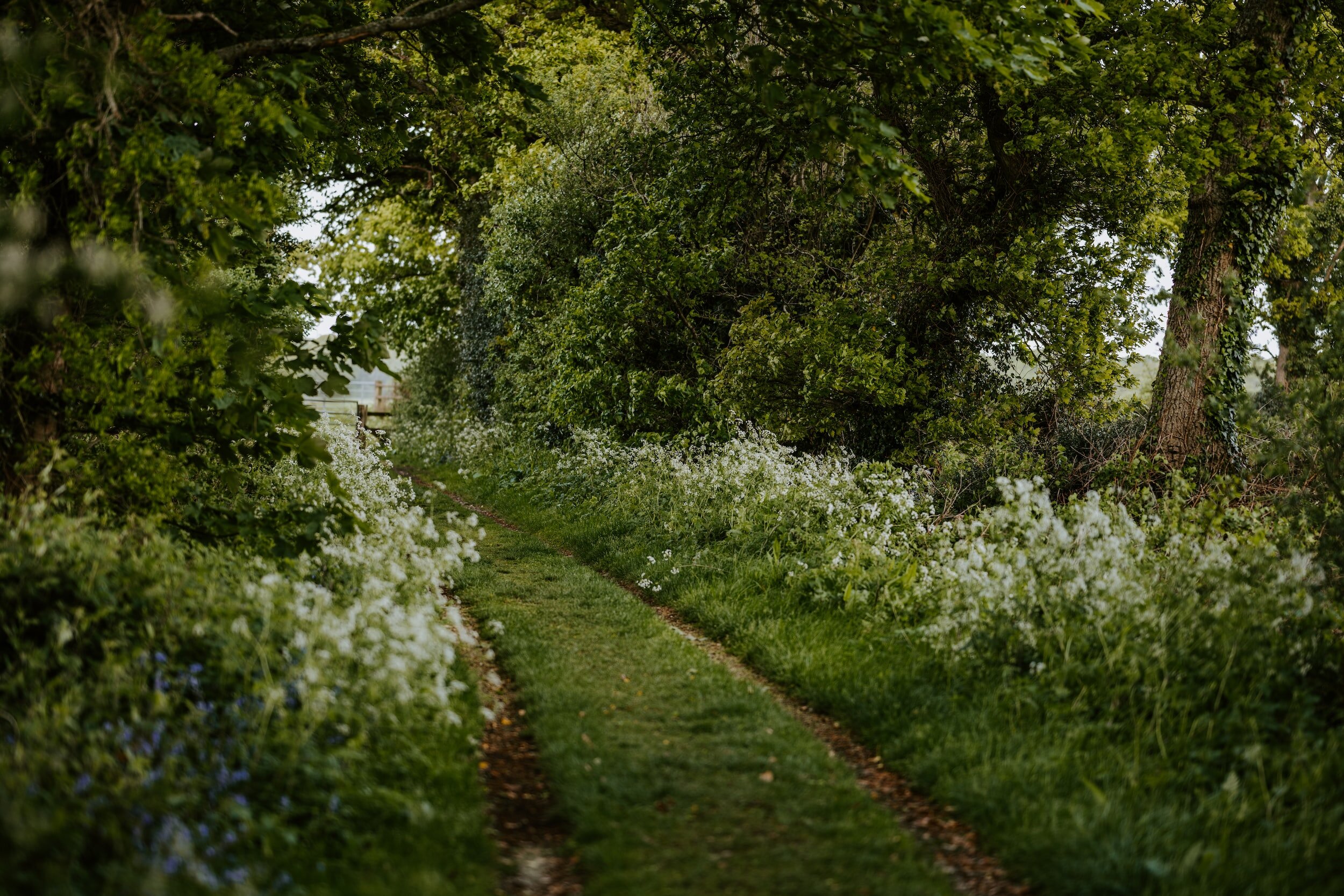
Walk it.


